The countryside to the east of Chelmsford is not spectacular like the Lake District or the South West Coastal Path, but is nonetheless attractive with a mix of woodland, arable farming, small settlements, rivers and streams. And, of course, if you go far enough east there is the sea, with miles of salting and coastline. There is also pleasant countryside to the west of Chelmsford, especially in the area of Writtle Forest.
On Saturday, August 31st 1957, John Baker must have looked over his shoulder as he cycled home through Langford and recorded in his Diary:
“My last view of the estuary, of the calling birds, the dark earth, bright water, romantically still trees, was beautiful. The loveliest place on earth, of great beauty and rich sadness. A wonderful day.”
Much development has taken place over the last half century with both more housing and new roads being built in mid Essex. In particular the A12 Chelmsford by-pass has cut off the City from Danbury and Little Baddow. The quietness of places such as Grace’s Walk in Little Baddow, so beloved by Baker, has gone. Nevertheless, it is still possible to enjoy the countryside that Baker studied so closely.
Using the locations provided by Baker in his diaries, I have highlighted a series of walks covering the same ground that he travelled in his search for peregrines and other birds, over 50 years ago. Some of these walks are on National Trust land, but others are on sites owned or managed by the Essex Wildlife Trust or the Royal Society for the Protection of Birds.
Over the past 60 or so years, the views have changed, but essentially the farmland, woods, hills, rivers and coast around Chelmsford to the sea remain to be explored on foot, bicycle or boat! The birds, both in number and variety, are as exciting to watch as ever!
In September 2022, I helped lead a walk close to Little Baddow as a Heritage Open Day event. Eighteen people came and visited some of the places mentioned by Baker in the delightful countryside of the Chelmer valley. We walked by the River, crossed the Ford and along Grace’s Walk on a most pleasant afternoon. The walk was organised through the Chelmer Valley Landscape Group which seeks to bring together a range of bodies to develop enhanced understanding, conservation and management of the Chelmer Valley.
Earlier, my wife and I were delighted to take Darcy Moore, from Australia, on a series of walks in Baker Country. Darcy was on a sabbatical from his post as a deputy principal for the New South Wales Department of Education. We walked around Little Baddow, including the Ford where the Peregrines bathed, and then along the River Chelmer from Paper Mill Lock going past the wooden church tower at Ulting, before finishing on the seawall at Goldhanger. The weather was delightful. If you would like a guided walk around Baker Country please get in touch through the contact page.
Relevant Ordnance Survey Explorer maps and an excellent book:
- 175 – Southend-on-Sea & Basildon
- 176 – Blackwater Estuary
- 183 – Chelmsford & The Rodings
- 184 – Colchester
- Explore Wild Essex – Tony Gunton – Lopinga Books, 2008
The Walks
I very much regret that I have not been able to provide maps of the walks outlined below. If you want to walk in Baker Country then please use the excellent book Explore Wild Essex and/or the maps noted above. You can also contact me for advice and I am always happy to lead you on a walk. Please contact me using the information on the Contact page.
Abberton Reservoir
OS Explorer Map 184
Grid Reference
TL 962 177
(Mentioned in Diary on May 21st 1954 and several other occasions)
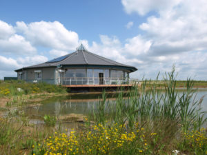
This is owned by Essex and Suffolk Water, with the nature reserve managed by Essex Wildlife Trust and there are several walks and hides. There is a new Visitors’ Centre. See reserve website for more information.
Abbotts Hall
OS Explorer Map 184
Grid Reference
TL 963 146
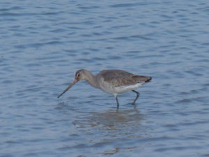
This coastal farm is now the headquarters of Essex Wildlife Trust. It is not specifically mentioned by Baker, but he must have known of this part of the coast. Walks are available at Abbotts Hall. These enable the coastal realignment, in response to the rising sea level, to be seen. Picnic and toilet facilities are available. Further information is at the reserve website
Bradwell-on-Sea
OS Explorer Map 176
Grid Reference
TM 024 078
(Mentioned in Diary on June 30th 1954 and on other occasions)
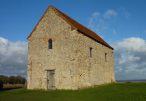
Circular walk from car park at Eastlands Farm or at Bradwell Waterside (toilet) around the tip of the Dengie peninsular and including St Peter’s Chapel.
Canal Walks
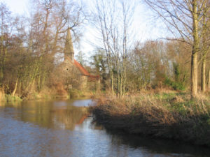
There are many linear walks along the Chelmer and Blackwater Navigation taking in places mentioned by Baker, including Ulting Church (mentioned in The Peregrine on 25 January). There is good access to the canal from the east of Chelmsford and from Maldon.
Chelmsford City Walk
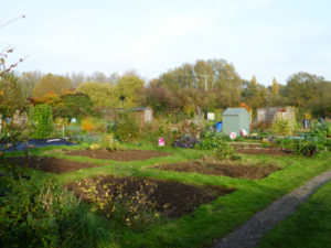
This walk close to the city centre is in Explore Wild Essex p 116.
Baker lived in Chelmsford and with a street map it is easy to find many other places associated with him, such as his homes, schools and places of work.
On 28 November 1955 Baker saw a Tawny Owl fly from the hedge by First Avenue allotments.
Copt Hall Marshes
OS Explorer Map 184
Grid Reference
TL 981 146
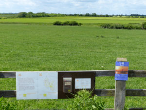
A working farm to the north of Salcott Channel on the River Blackwater, owned by the National Trust. It is not mentioned by Baker, but is typical of the type of coastal countryside that he so enjoyed. There is a waymarked walk at Copt Hall Marshes. See National Trust website.
Danbury Common, Lingwood and Blakes Wood
OS Explorer Map 183
Grid Reference
TL 781 041
(Mentioned in Diary on 10th May 1954; March 12th 1955; March 12th 1955 and on many other days)
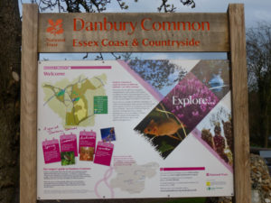
These three walks, which can be combined, are on the National Trust website.
Maps of the many nature reserves in this area can be found in Explore Wild Essex p 118-127. Footpath maps are available on the Danbury and Little Baddow parish websites at
Danbury Circular Walks and Little Baddow map.
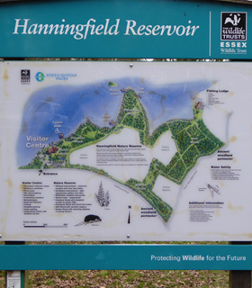
Hanningfield Reservoir
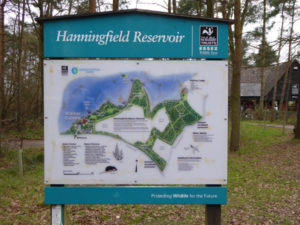
OS Explorer Map 175
Grid Reference
TQ 725 971
(Mentioned in Diary on October 29th 1955 and several other occasions)
The woodland is managed by Essex Wildlife Trust and a trail leaflet is available. Baker was a regular visitor to the hides. There is a Visitors’ Centre. Reserve website
Mill Green Common
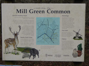
OS Explorer Map 184
Grid Reference
TL 963 185
(Mentioned in Diary on 8th January 1955)
This is to the west of Chelmsford and part of Writtle Forest. It is within easy cycling distance of Chelmsford and the wooded areas gave lots of opportunities for bird watching. A leaflet issued by Brentwood District Council gives walks in this area. Leaflet can be downloaded here.
Navigation Walks
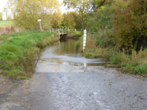
(Mentioned in Diary May 17th 1955 and many other days)
This booklet published by Essex County Council, and Navigation Walks, includes several walks in the Danbury/Little Baddow area so favoured and loved by Baker. The circular Woodland Walk is of particular relevance. Footpath maps are available on the Danbury and Little Baddow parish websites – see entries above.
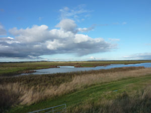
Old Hall (RSPB)
OS Explorer Map 184
Grid Reference
TL 959 124
(Diary notes on May 21st 1954 – After I had crossed the barbed wire, a keeper turned me back! It is now an RSPB reserve!)
From Tollesbury (car park at Woodrolfe Green) there is an easy walk to and round Old Hall, with either a short or long version. Search from RSPB Homepage for more information !
Writtle Forest
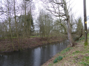
OS Explorer Map 183
Grid Reference
TL 638 012
(Mentioned in Diary on December 9th 1954 and other occasions)
Various walks in Writtle Forest are noted in Explore Wild Essex p 148.
Although Baker is particularly associated with the area to the east of Chelmsford, where he found the peregrines, he also spent much time to the west of the town. Writtle Forest includes many of the woods mentioned by Baker including King Wood, Chapel Wood, Baker’s Wood and Edney Wood.

